
Notes on the artwork for our website
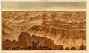 Panorama from Point Sublime - Looking South |
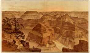
Panorama from Point Sublime - Looking East |
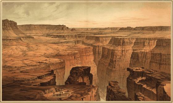 Foot of the Toroweap - Looking East |
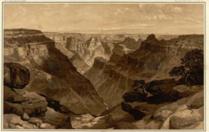 The Transept, Kaibab Division |
|
The pictures
are drawn by William H. Holmes and are from Clarence E. Dutton's
Atlas
to Accompany the Monograph on the Tertiary History of the Grand Cańon
District. Originally printed in 1882 (Washington) by the US Geological
Survey - it is arguably the finest book every produced on the Grand
Canyon. According to the Library of Congress, Dutton was the
leading scientific illustrator of topographic and geologic phenomena
for the Great Western Surveys following the Civil War. Notes |